

The world - 2026
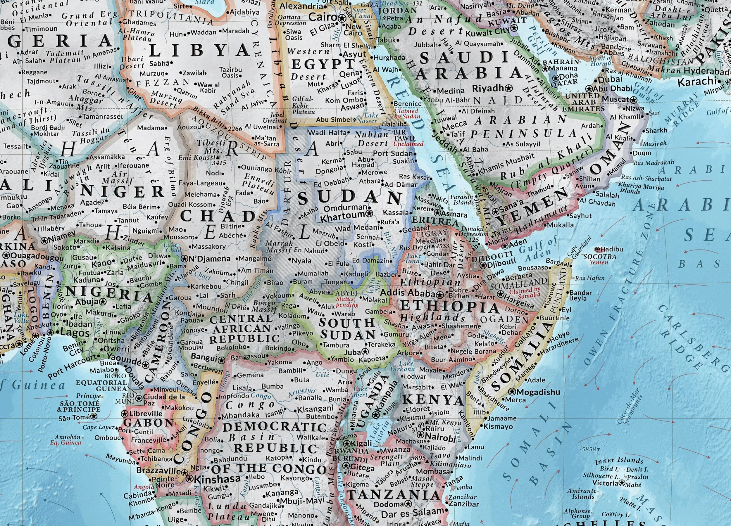
The World Decorative is a comprehensive, highly detailed up-to-date political and physical map of the world attempting to show our world in a wall poster in a previously unprecedented detail with an ambition of being the world's most detailed world map poster yet created.
SEE THE MAP IN A HIGHER RESOLUTION HERE!!
Inspired by the incredible world maps from National Geographic and illustrated in an Art-Deco style, it took almost 2 years to fully finish with frequent updates planned for the future. The map includes over 10 000 individual placenames and other labels.
It combines a detailed de-facto political map of the world including disputed, partially recognized territories as well as ongoing military conflicts, a physical relief map showing the world's rivers, lakes, atolls, salt flats, glaciers, mountains, as well as a detailed topography of the world's oceans, significant undersea features and the directions of the world's prevailing warm and cold oceanic currents (as observed during Northern Hemisphere winter.
Altogether, the main world map includes over 4000 individual cities, towns and other settlements, with the dimensions of their labels reflecting their relative population size. Shaded topography over land and sea reveals mountain ranges, plateaus, plains, ridges and marine trenches. Altitudes of the most significant mountain peaks and oceanic deeps in relation to the sea level are included.
Additional information includes the line of winter extent of sea ice, the latest locations of Earth’s moving magnetic poles as well as significant archeological and historical sites.
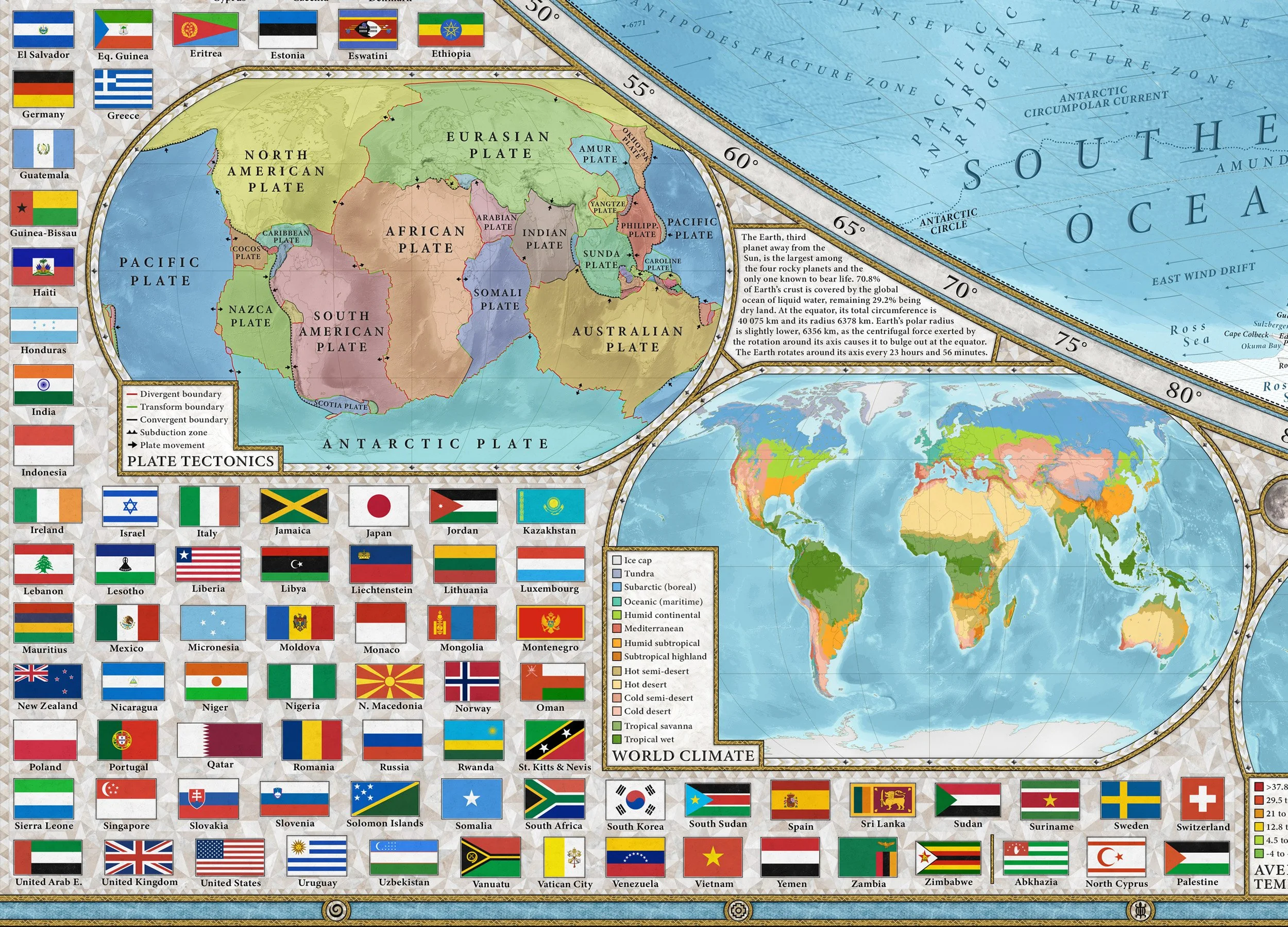
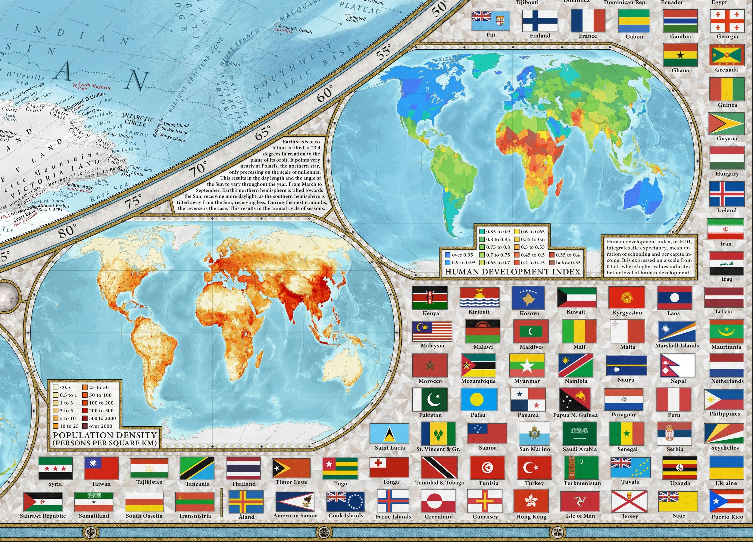
In the upper corners, twin map insets display Earth’s northern and southern polar regions, rendered in the azimuthal equidistant projection. In addition, the main world map is complemented by six smaller inset maps illustrating Earth’s major tectonic plates, their boundaries and their movement, the distribution of climate zones across the globe, average temperatures throughout the world during daytime in January and July, as well as the global distribution of population density and a detailed map of human development (HDI) around the world including regional subdivisions.
Included for reference are the official state flags of all of the world's sovereign states, as well as those of selected partially recognized states and autonomous territories, and brief lists of the world’s largest and most populous countries, largest urban areas as well as languages with the highest amounts of native speakers.
The World - 2026 is available in an International and US localization. A new vintage antique-themed poster variant coming soon!
I hope that this poster will serve as both a practical geographic reference and a decorative visual summary of the world we all live in.